Ecosystem mapping in action
On this page
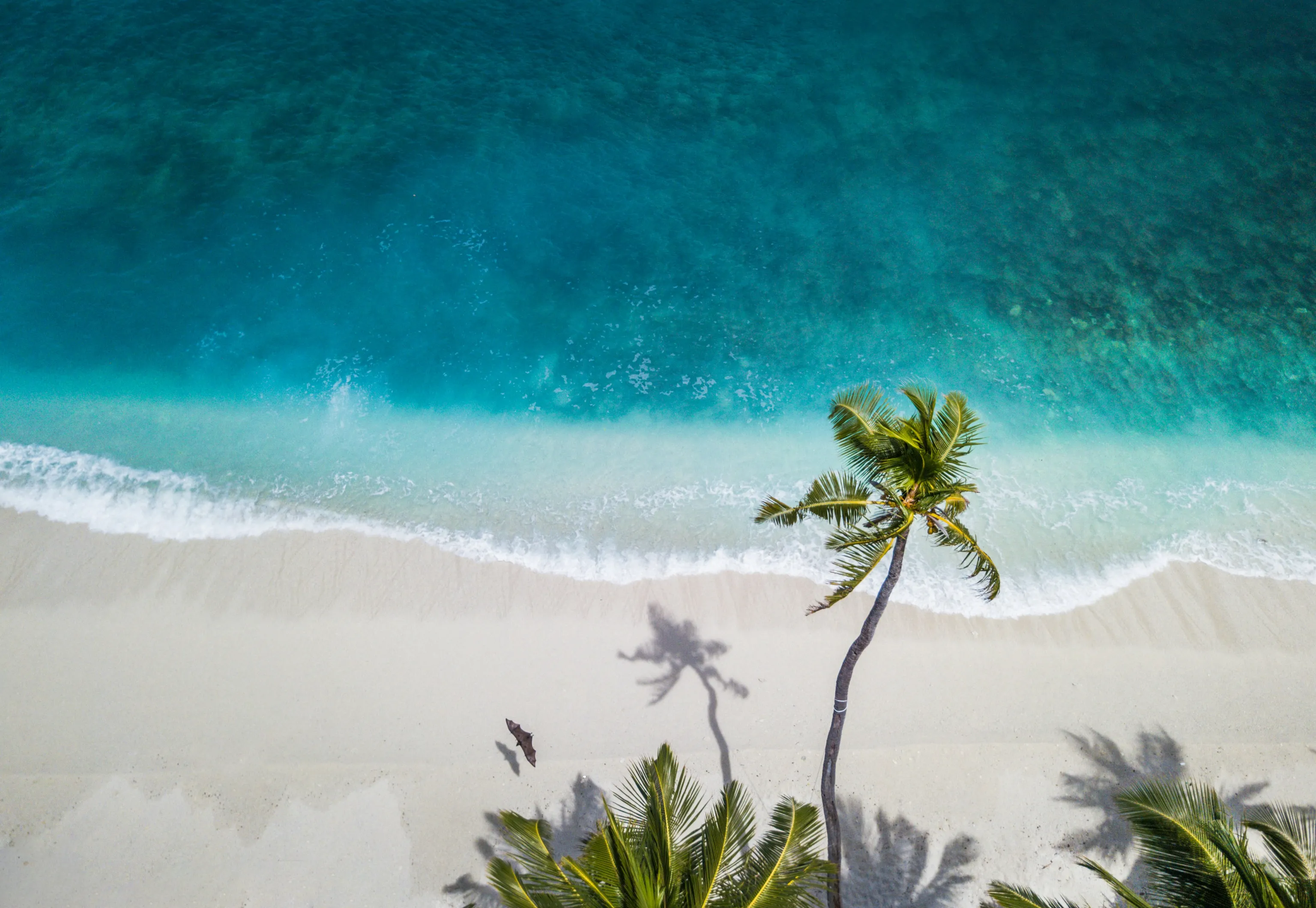
The Maldives is made up of more than 1,000 islands, and every one of them depends on a handful of ecosystems to survive: coral reefs, mangroves, seagrass meadows and coastal forests. These ecosystems support the country's fishing and tourism industries, and form its main line of defence against rising seas and extreme weather.
Despite that importance, the Maldives did not have a complete, standardised map of its own ecosystems – until now. The Maldives is the first nation to complete a Global Ecosystems Atlas Accelerator.
Here's how they did it, and why it matters for every country reporting progress on the Kunming-Montreal Global Biodiversity Framework (KMGBF).
The problem: most countries do not have maps of their ecosystems
You cannot protect, manage or plan around something you cannot measure. Yet most countries do not have a standardised, comparable map of their own ecosystems,. This data shortfall makes it difficult to plan conservation, prepare for climate change, or report progress against global biodiversity targets. Less than one-third of countries reported on Headline Indicator A.2 on the extent of natural ecosystems, as part of the 7th National Reports to CBD.
The solution: a common resource to map ecosystems
The Global Ecosystems Atlas is a live, evolving resource that brings together standardised, comparable data on the world's ecosystems, convened by the Group on Earth Observations (GEO) with the Convention on Biological Diversity (CBD) and the International Union for Conservation of Nature (IUCN).
For countries that don't yet have their own ecosystem map, the Global Ecosystems Atlas can facilitate in-country mapping accelerator: a structured programme that pairs a country's own scientists and institutions with international technical partners to build a national map together.
Every map produced this way is built to the same global standard, the IUCN Global Ecosystem Typology, a classification system that groups ecosystems into consistent categories by function rather than solely structure or species composition. This means a mangrove forest mapped in the Maldives can be meaningfully compared with one mapped anywhere else in the world.
How the Maldives built its ecosystems map
1. Forming the partnership.
Funded by the United Kingdom Department for Environment, Food and Rural Affairs, the Maldives Accelerator began when the Ministry of Climate Change, Environment and Energy (MoCCEE) for the Maldives partnered with the Group on Earth Observations in 2024.
Seven international scientists joined 26 Maldivian experts, representing 11 ministries, agencies, and universities, for a first workshop to agree what a national ecosystem map needed to cover and how to build it. This collaboration and diversity of skills ensured the next two years had the best chance of success.
“We need to ensure that we use our natural resources sustainably, protect and effectively manage ecologically significant areas, and restore degraded areas. We welcome the Global Ecosystems Atlas."
Thoriq Ibrahim
former Minister of Climate Change, Environment and Energy, Maldives
“The people who know these islands best should be the ones shaping the map. When this work started in 2024, we were creating annotations. By the most recent workshop, Maldivian experts were reviewing the updated results. That’s the loop we want every country to have.”
Ted Schmitt
Senior Conservation Director at Ai2
3. Building the first draft from existing data.
Before going into the field, the team drew on decades of earlier research, including IUCN studies that had already identified as many as 33 distinct ecosystem types likely to be present across the islands. Maldivian and international partners then carried out rounds of remote data collection, working through satellite imagery and other data describing the local environment to locate ecosystems. This gave the team a first draft of the map, which drew on existing information, expert knowledge, and new data.
4. Testing it on the ground.
Satellite imagery and modelling could only carry the map so far. The training and validation data need to boost the map's accuracy had to come from the ground.
So, a dedicated field deployment was organised. Over four weeks, national experts from MoCCEE, alongside Global Ecosystems Atlas staff, travelled from island to island, wading through lagoons and climbing rocky shorelines. These hard-earned data assessed model outputs against what was truly there. Every mismatch in ecosystem type was logged and fed back into the model so the map could be improved.
“Actually being in the Maldives was a very different experience to investigating it from a map on the computer. It's such a vast and unique country. We were blown away by the natural beauty and diverse nature of the different islands and really appreciated the hospitality and depth of knowledge from the local team, who all made us feel more than welcome. I'm confident that the field trip provided integral nuances to the data that have helped ensure that the Accelerator program is a success.”
Corey Mosen
Wildlife biologist supporting the Ministry of Tourism and Environment.
5. Finalising and validating the map.
In the final stage, four Maldivian representatives from the Ministry joined the Global Ecosystems Atlas science and technical teams at James Cook University in Townsville, Australia, for a final workshop. There, the last few gaps in the data were annotated, Ai2's model was run one final time, and the country’s first ecosystem map was finalised.
The group also agreed how the map will live on after the Accelerator itself: embedded into national platforms and published as part of the Global Ecosystems Atlas Synthesis Map.
Why the Maldives is a blueprint for other countries looking to map their ecosystems
Under the KMGBF, countries have committed to 2030 targets on halting biodiversity loss and restoring ecosystems. They are expected to report progress against these targets, including on headline indicators like the extent of natural ecosystems. Until now, gaps in ecosystem data have made that kind of reporting difficult for many countries.
The Maldives can now report against these commitments with confidence, and can initiate additional assessments unlocked by ecosystem maps (such as IUCN Red List of Ecosystems assessments, or Ecosystem Accounts).
Other countries could benefit in the same way. Beyond national reporting, mapping ecosystems gives the Maldives better information for decision making. By capturing the mangroves, freshwater and brackish wetlands, beaches and coastal forests that shield islands from erosion and storm surge, nurture fish stocks and underpin tourism, the map gives the country the power to protect them.
It gives policymakers a practical tool that shapes how they can build climate and economic resilience. Other countries facing an ecosystems data gap now have a tested blueprint to follow through a partnership model that pairs global scientific standards with local knowledge.
To find out how you can partner with the Global Ecosystems Atlas, email ecosystems.atlas[at]geosec.org
Related articles


News
15 October 2026
Partnering for progress
The technology and partnerships behind the Global Ecosystems Atlas


News
9 October 2026
Corporate insights
As private sector nature reporting matures, ecosystem data is key to unlocking place-based insights

Research
8 September 2026
New resource: Data licensing
Ambiguous data licences undermine global ecosystem mapping efforts